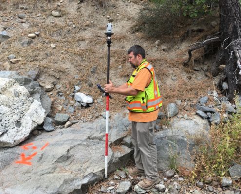
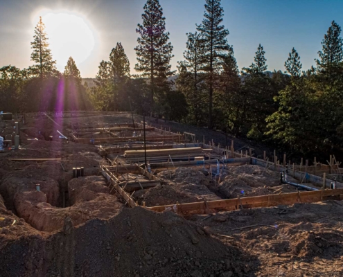
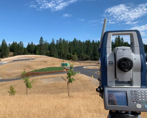
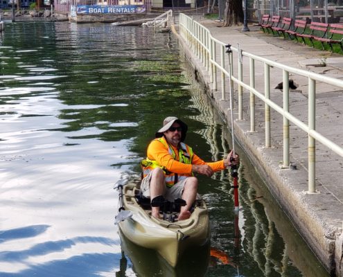
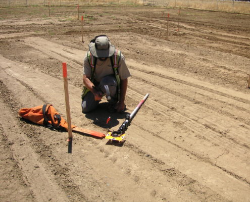
CWE provides Land Surveying services to commercial, residential and municipal clients through the Land Surveying Services Division. The CWE Land Surveying Division is led by surveyor William F. McKinney PLS. With over 43 years of industry experience, Mr. McKinney has extensive knowledge, and has been licensed in California since 1979. Our field crews utilize modern data collection technology to serve our clients with a high level of accuracy and efficiency.
The CWE Land Surveying Division works closely with our firm’s Civil Engineering Division to ensure the fulfillment of our client’s diverse requirements. Land Surveying services in which CWE specializes and provides to our clients include:
- Resource Mapping
- Aerial Mapping
- Legal Descriptions and Maps
- Utility Locations and Mapping
- Easement Maps and Descriptions
- Title and Land Record Research
- ALTA/ACSM Land Title Surveys
- Boundary and Property Line Surveys
- Construction Layout/Field Staking
- As-built Surveys/Record Drawings
- Condominium Maps and Declaration Documents
- Subdivisions, Lot Divisions and Lot Line Revisions
- Topographic and Planimetric Surveys
- Assessment District Mapping
- FEMA Elevation Certificates
- Record of Surveys

